Volume 16 (2.3)/2024
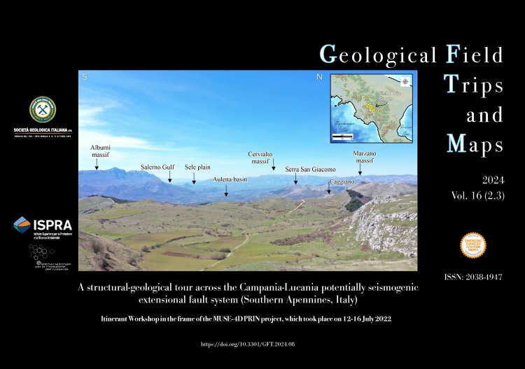
A structural-geological tour across the Campania-Lucania potentially seismogenic extensional fault system (Southern Apennines, Italy)
Itinerant Workshop in the frame of the MUSE-4D PRIN project, which took place on 12-16 July 2022
DOI: https://doi.org/10.3301/GFT.2024.08 - Pages: 1-40
Simone Bello1,2,3, Francesco Brozzetti1,2, Carlo Andrenacci1,2, Federico Pietrolungo1,2, Daniele Cirillo1,2, Rita de Nardis1,2, Marco Menichetti2,4, Carmelo Monaco2,5,6, Luigi Ferranti2,7, Giorgio de Guidi2,5,6, Giovanni Barreca2,5,6, Salvatore Gambino2,5, Salvatore Giuffrida5, Francesco Carnemolla5 & Giusy Lavecchia1,2
1DiSPuTer - University G. d'Annunzio Chieti-Pescara, 66100, Chieti, Italy.
2CRUST - Centro inteRUniversitario per l'analisi Sismotettonica Tridimensionale, Italy.
3CNR - Istituto di Geologia Ambientale e Geoingegneria, Monterotondo 00016 Rome, Italy.
4Universita degli Studi di Urbino Carlo Bo, Urbino, 61029, Italy.
5Dipartimento di Scienze Biologiche Geologiche e Ambientali, Università di Catania, 95129, Italy.
6INGV, Osservatorio Etneo-Sezione di Catania, 95129, Catania, Italy.
7Università degli Studi di Napoli Federico II, Naples, 80138, Italy.
Corresponding author e-mail: simone.bello@unich.it
Abstract
The field trip focuses on the Quaternary tectonic structure of the Campanian-Lucanian Apennines. This area is responsible for some of the most destructive southern Apennine earthquakes, which were studied within the context of a PRIN-2017 project referred to as MUSE-4D, that stays for "Overtime tectonic, dynamic and rheologic control on destructive multiple seismic events - Special Italian Faults & Earthquakes: from real 4D cases to models". Part of the project focuses on two M7-class multi-event Special EarthQuakes (SEQs): Irpinia 1980 and Basilicata 1857, which released similar cumulate magnitudes in time lapses variable from few seconds (1980) to few minutes (1857). These events and their host structures were analysed in innovative overtime (Quaternary and active) and multi-scale (local to regional) approaches within the project context. The geometry, kinematics, and structural style of the potentially seismogenic sources of these events are still questioned in the literature. A full constraint of their surface setting is fundamental to reducing the number of variables in assessing the extensional tectonics of the area and in the 3D fault model building. The three-days field trip is finalized to visit both the largely agreed and the controversial fault exposures to discuss them among the geo-scientific community.
Keywords
